|
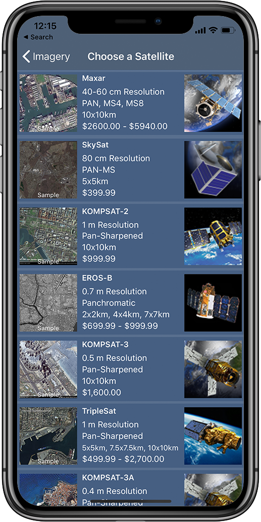
SpyMeSat provides users with the ability to preview and purchase the most recent, high-resolution commercial satellite imagery of any area of interest. Our imagery marketplace is free to browse and instantly accessible after sign-up. Images can be purchased starting as small as 1x1km squares and with our à la carte shopping model, SpyMeSat can accommodate every budget from small businesses to individuals. SpyMeSat makes the entire process of preview, selection, purchase, and delivery effortless.
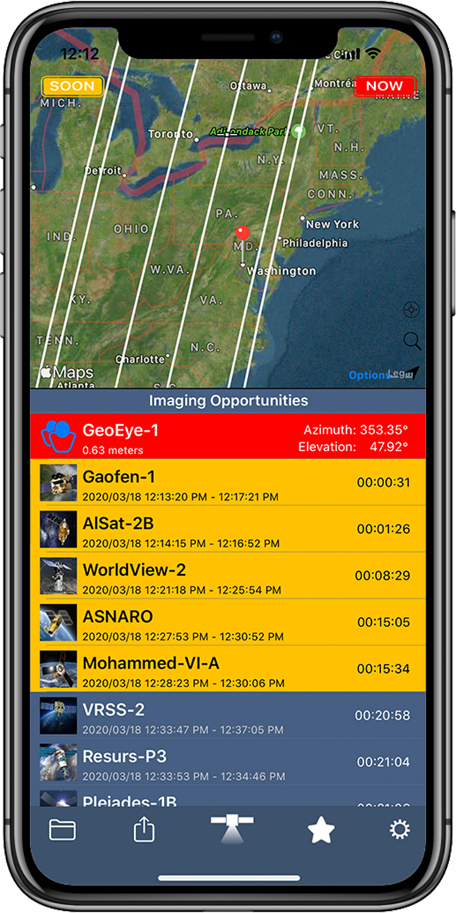
HistoryThe SpyMeSat app started off as an educational tool where the user could see in real-time what satellites could potentially be taking their picture. Not when you can see the satellite, but when the satellite can see you! As SpyMeSat and the satellite imagery market evolved, we noticed there was no way for a regular person to access recent, high-resolution satellite imagery. The majority of imagery providers require a large-scale minimum purchasing agreement not easily met by most people or even most smaller companies. Additionally, the satellite imagery provided through services like Google Earth can sometimes be several years old. However, the need for satellite imagery was still there for those users, so SpyMeSat stepped in to become the accessible imagery marketplace it is today.
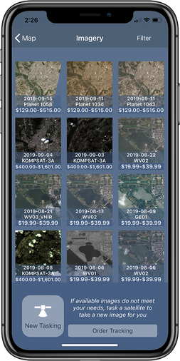
SpyMeSat evolved further when the new tasking feature was added. While access to archive imagery allows users to get the pictures that have already been taken by the satellites, new tasking allows users to make a request for a satellite to capture a new image of any location – right from the palm of their hand! The process for requesting new imagery collection is simple and straightforward. The user is provided regular status updates from the satellite operator, including notifications of planned imaging times several hours before each imaging attempt.
| Features Resources |


