Navigating from the Homepage...
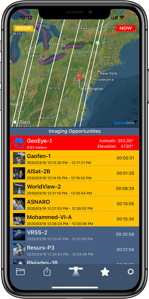
When you open up the SpyMeSat app on your phone, you're taken to a map view of your current location. The app is computing imaging opportunities for your current location. This shows when imaging satellites are flying over and could be taking your picture. You’ll see upcoming imaging opportunities are in yellow and current imaging opportunities are red. You’ll also see their paths overlaid on the map.
Page Navigation
From the home page you can navigate to several other menus using the bottom toolbar.
|
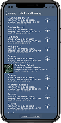
My ImageryThe folder icon takes you to your purchased, archive and tasked imagery.
|
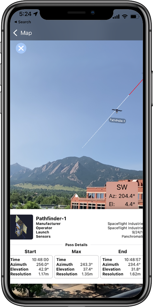
AR ModeThis icon launches the augmented reality (AR) view overlaying the orbit and position of current imaging satellites for your location.
|
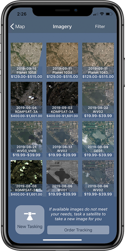
ImageryThe satellite icon directs you to available imagery for purchase. This is also where you can create a new tasking order.
|
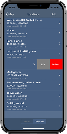
FavoritesThe star icon is where your favorite locations are stored for easy access.
|
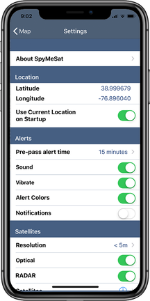
SettingsThe gear icon takes you to the settings page.
|
Filtering Archive Imagery Results
|
Image Details
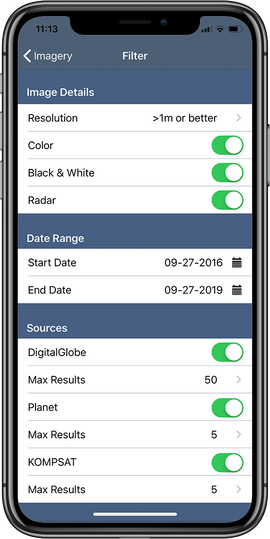
Under image details the user can filter by image resolution and certain image parameters like whether to show radar images.
Date
Date refers to the day the image was captured by the satellite. If you're looking for imagery from a certain time period, season, or range of dates use the start and end date filter to adjust your imagery results.
Imagery Providers
If you know you'd like to purchase imagery from a specific provider, you can toggle on and off who you'd like to see results from. You can also set the maximum number of images you'd like to see in your results from any provider.
|

