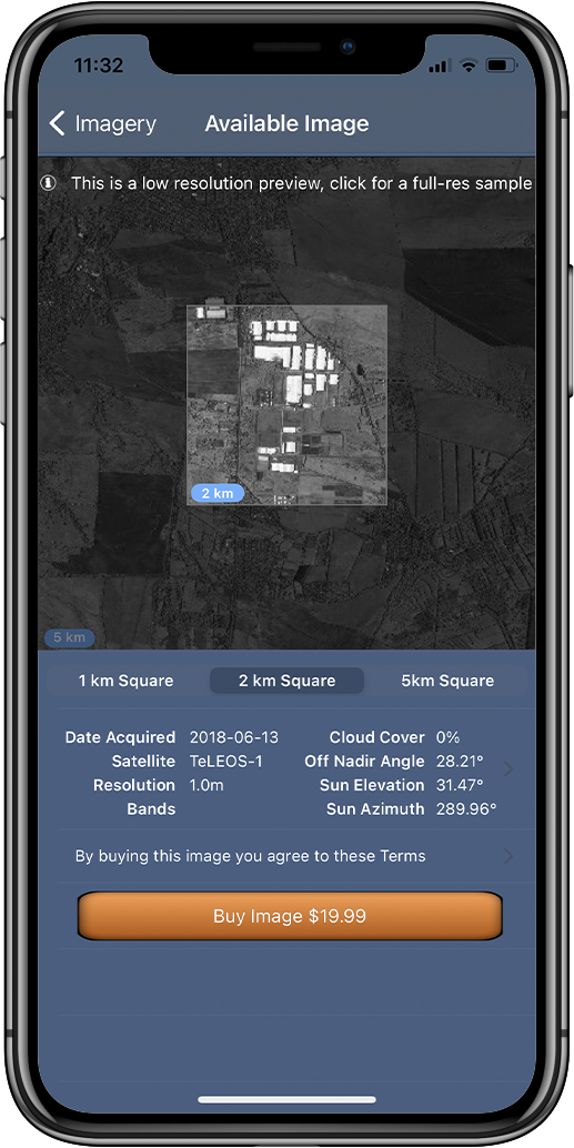
SpyMeSat
  • Home
  • About
    • FAQ
    • Mobile Application
    • Web Application
    • Satellites
  • Features
    • Archive Imagery >
      • Maxar
      • Planet
      • KOMPSAT
      • TeLEOS
      • SkyMap50
    • New Tasking
    • Overflight Notifications
  • Pricing
  • Contact
  • Buy Imagery Now

TeLEOS

TeLEOS Imagery Archive

ST Engineering launched Singapore’s first-ever Commercial Earth Observation Satellite TeLEOS-1 into Near Equatorial Orbit (NEqO) in 2015. The satellite is aimed at providing high temporal imagery and geospatial solutions for homeland security and border control; maritime monitoring and disaster management around the equatorial belt. The satellite is equipped with electro-optical camera payload that is capable of performing imaging at ground resolution of down to one meter. It carries 8GB of solid storage for storage of imagery captured by the panchromatic camera.
Picture

Specifications:

Image Size
Picture

1 & ², 2km², & 5km²

Resolution
Picture

1Meter

Near Equatorial Orbit (NEqO)
Picture
A near-equatorial orbit is an orbit that lies close to the equatorial plane of the object orbited. So you'll find TeLEOS imagery results when you search around the celestial equator on SpyMeSat.

Picture
Resources
Picture
Visit the ST Engineering Website
Picture
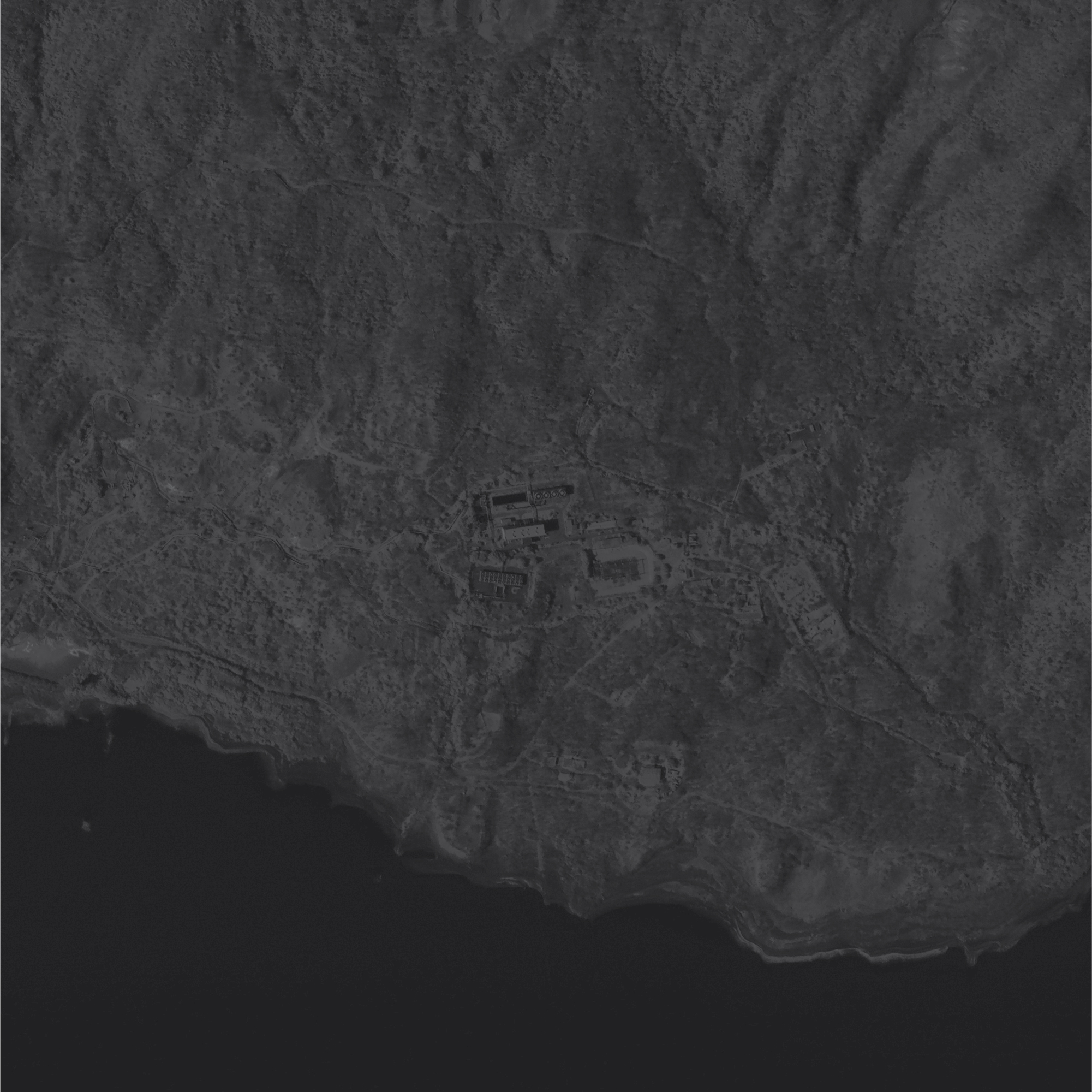
Download a Full-Resolution
​Sample TeLEOS Image
Picture
Read the ST Engineering End User
License Agreement​
U.S. Patents 9344994, 9779301, 10853410, 10817561, and 11113330
© Orbit Logic | All Rights Reserved
  • Home
  • About
    • FAQ
    • Mobile Application
    • Web Application
    • Satellites
  • Features
    • Archive Imagery >
      • Maxar
      • Planet
      • KOMPSAT
      • TeLEOS
      • SkyMap50
    • New Tasking
    • Overflight Notifications
  • Pricing
  • Contact
  • Buy Imagery Now