SpyMeSat
  • Home
  • About
    • FAQ
    • Mobile Application
    • Web Application
    • Satellites
  • Features
    • Archive Imagery >
      • Maxar
      • Planet
      • KOMPSAT
      • TeLEOS
      • SkyMap50
    • New Tasking
    • Overflight Notifications
  • Pricing
  • Contact
  • Buy Imagery Now

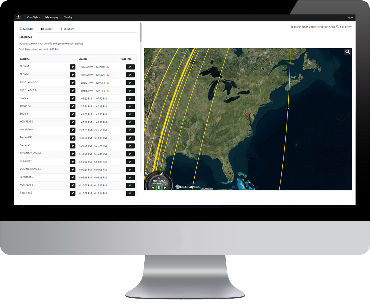
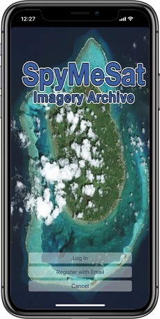
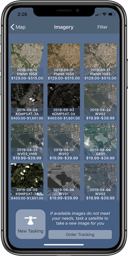
The easiest way to buy satellite imagery

SpyMeSat provides real-time EO satellite tracking, on-demand access to purchase from leading satellite imagery providers, instant sign-up to our imagery marketplace, and the ability to have a new satellite image taken of any location on Earth.
BUY IMAGERY NOW HOW DOES THIS WORK? MOBILE APP WEB APP

See From Above

The SpyMeSat app includes the ability to preview and purchase the most recent, highest resolution commercial satellite imagery of any location through an easy and affordable in-app purchase process. The entire process of preview, selection, purchase and delivery of archived imagery can be completed in seconds, delivering satellite imagery for any location on demand. ​
With the new “World’s Longest Selfie Stick” tasking feature, any user can request that a satellite take their picture. Users can request an imaging satellite to take a new picture of any location on Earth as well. Tasking status updates inform users of tasking request acceptance, imaging time, image processing and delivery status.

Custom Solutions – Your Archive, Your Satellites, Your Branding

The SpyMeSat app and server architecture can be deployed as a custom, white-labeled solution for the private tasking of any constellation of satellites and connected to any imagery archive(s) for any program. Customization is more configuration than development, so the timeline for deploying a licensed, SpyMeSat-based app solution for your program is quick, cost-effective, and low risk.

Real-Time Imaging Satellite Tracking App

Picture
SpyMeSat informs you when satellites are overhead and could be taking your picture – not when you can see the satellite, but when the satellite can see you! More technically, SpyMeSat provides imaging satellite overflight notifications for the user’s current location or location of choice. The user may configure notifications to filter by resolution, imaging phenomenology, or even individual satellites, and the types and timing of notifications can be adjusted for preference. Details of individual predicted passes are provided, along with details about the satellite, including manufacturer, operator, launch date, capabilities, and mission. Real-time data is provided during overflights, including satellite location and real-time, range-based imaging resolution. Overflight notifications even work when not connected to a data network, since all imaging passes are computed on the mobile device itself.
Picture
Picture

On-Demand Access to High-Resolution Satellite Photos

Picture

ARCHIVE IMAGERY

SpyMeSat users have on-demand access to the most recent and highest resolution commercial satellite imagery available.

LEARN MORE
Picture

NEW TASKING

With SpyMeSat’s New Tasking feature, users can request an imaging satellite take a new picture of any location on Earth.

LEARN MORE
Picture

OVERFLIGHT NOTIFICATIONS

SpyMeSat provides imaging satellite overflight notifications for the user’s current location or location of choice. 

LEARN MORE
U.S. Patents 9344994, 9779301, 10853410, 10817561, and 11113330
© Orbit Logic | All Rights Reserved
  • Home
  • About
    • FAQ
    • Mobile Application
    • Web Application
    • Satellites
  • Features
    • Archive Imagery >
      • Maxar
      • Planet
      • KOMPSAT
      • TeLEOS
      • SkyMap50
    • New Tasking
    • Overflight Notifications
  • Pricing
  • Contact
  • Buy Imagery Now